Namibia’s coastline stretches from the Orange River in the south for roughly 1 500 km to Kunene River in the north. Most of the Atlantic coast is completely uninhabited and often also unreachable. The coastline is defined by the cold, rough Benguela Ocean Current of the Atlantic and the Namib desert, which stretches along the entire coastline from the south to the north.
Yet, there are some clear distinctions and variations in the landscape between the southern coast, the central part, and the northern parts of the coast, which is often referred to as the Skeleton Coast.
At a glance
Why you should visit
Namibia's costline is defined by the cold and rough Atlantic Ocean and the the harsh desert environment of the Namib Desert. Yet, this seemingly lifeless landscape boasts a surprising diversity of fauna and flora, specially adapted to these unique climatic conditions. This unique desert environment paired with the dramatic scenery, where giagantic sand dunes spill directly into the waves of the Atlantic make this one of the most spectacular destinations to visit in Southern Africa.
Our favourite time to visit
Usually, the best weather conditions can be found between January and March. During this time, the daily temperatures are moderate with often sunny and pleasant conditions.
The overall conditions along the coast are defined by the cold ocean current. There is usually a prevailing wind from a south westerly direction, which often brings cold, misty conditions to the coastline.
The overall conditions along the coast are defined by the cold ocean current. There is usually a prevailing wind from a south westerly direction, which often brings cold, misty conditions to the coastline.
During the winter months, strong winds from the central inland, known locally as the East Wind, can bring nasty sand storms and very hot conditions to the central coast between April and June.
During the Namibian summer holidays (mid december to mid January) many Namibians flock to the coast to escape the inland heat. During this time the small towns at the central coast are usually clompetely overrun and it is difficult to find accommodation and get seats in restaurants.
South Coast
The south coast of Namibia is dominated by the Sperrgebiet (Forbidden Area), which in the last century played host to the country’s highly lucrative and highly secure diamond mining efforts. Since most of the diamond mining is now happening offshore, this area was recently proclaimed into a national park and is gradually opening to the general public. Lüderitz, the small harbour town located between dunes, rocky outcrops and the sea, is the main gateway to the southern coast.
The small islands off the coast in southern Namibia are also home to a large variety of birds. This is also one of the very few places along the south-western coast of Africa, where Jackass or Cape penguins live in colonies on the rocky islets and can be seen during boat excursions offered from Lüderitz.
The stretch of coast between Lüderitz and Walvis Bay is dominated by the sand dunes of the Namib, which here often reach up to the waves of the Atlantic Ocean. This part of the country can only be reached with specially acquired permits and through organized dune expeditions.


Central Coast
The central coastal area between Sandwich Harbour, south of Walvis Bay, and the Ugab River, where the Skeleton Coast National Park begins, is the most know and most visited part of the Namibian coastline. Namibia’s biggest harbour is located at Walvis Bay, Swakopmund is the adventure and tourism capital of Namibia and the small town of Henties Bay further north is a favourite holiday destination for Namibians.
But, even though this part has a flurry of human activity, it also boast some of the most interesting natural highlights along the entire coastline. Sandwich harbour is a not only a small, very scenic bay, where the dunes reach directly into the waves of the Atlantic, it is also an important bird sanctuary, together with the Walvis Bay lagoon, where thousands of pink flamingos can be seen from up close.
The lichen fields north of Swakopmund are often completely missed by unaware tourists, but they are the biggest in the world and a worthwhile visit the experience how these strange organisms magically come to life, when just a few drops of water are sprinkled on them.
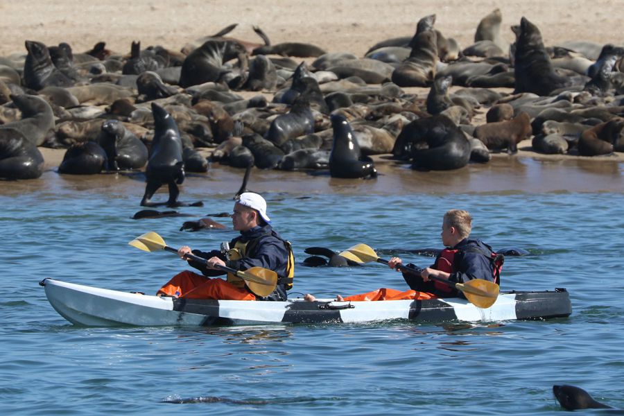
In the central coastal region visitors can also see some of the biggest colonies of Cape fur seals along the Namibian coast. Cape Cross is probably the most well-known of these colonies, where at times more than 100 000 animals can be viewed from a close distance, as they huddle together on the rocky beach and play in the cold waves of the Atlantic.
Skeleton Coast
This treacherous coast – a foggy region with rocky and sandy coastal shallows – has long been a graveyard for unwary ships and their crews, hence its forbidding name. The dunes and gravel of the stretch of coast form one of the world’s most inhospitable waterless areas.
The Skeleton Coast Park extends from the Ugab River in the south for 500 km up to the Kunene River in the north, covering an area of more than 16 000 km2. It protects about one third of Namibia’s coastline.
The landscape in the park ranges from sweeping vistas of windswept dunes, to rugged canyons with walls of richly coloured volcanic rock and extensive mountain ranges. Over a hundred species of lichen grow on the plains and west-facing mountain slopes, changing colour and becoming soft and leathery to the touch when the coastal fog generated by the cold Benguela Current pushes inland.
Animals occurring on the plains are oryx, springbok, jackal, ostrich and brown hyaena, while desert-adapted elephant and even black rhino, lion and giraffe roam up and down the dry river courses.
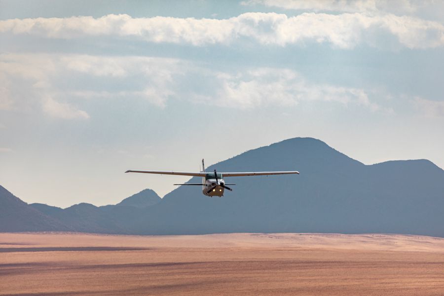
The northern section of Skeleton Coast Park is a tourism concession area that is restricted to fly-in safaris only. The southern section is accessible to the general public. Because of the ecological sensitivity of the coastal desert, the entire park is managed as a wilderness area.


