Lost in the Wilderness?
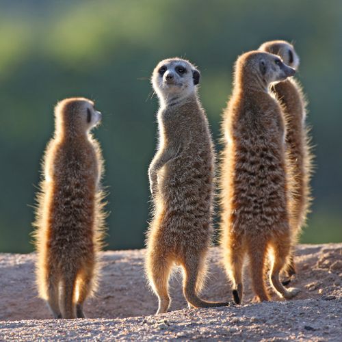
Ooops! This page has wandered off into the wilderness like a curious meerkat on safari.
It might have taken a wrong turn somewhere between the Okavango Delta and the Serengeti plains. We’ve looked under every baobab tree, checked the watering holes, and even asked a few elephants—but no luck.
But don't worry, adventurer
Even the best explorers take a wrong turn now and then. Just click below and you'll be able to continue discovering all the spectacular destinations we have on offer.
And remember: not all who wander are lost… unless they end up on a 404 page.